My Book!!

One opportunity that the blog has brought me is the co-authoring of a guidebook, Paddling Southern Maine! It is something in which I take a lot of pride! My writing partner, Sandy Moore, and I have created a book with 54 amazing trips that are within about an hour of Portland! Our motto as we wrote the book was wanting to 'get people to spend the day on the water and not in their cars!'

If you want more information on our book please click on the image of the book below.

Sandy and I are available to attend/present various functions/events. Please email me at mainekayakgirl@gmail.com for more information!

Friday, September 2, 2011

Westbrook, ME, Presumpscot River

Body of Water: Presumpscot River [ Maine Gazetteer Map 5, 3E. Also look for the Westbrook map in the back of the gazetteer, which shows Lincoln St.]

Directions (From Portland, ME):  Head West on Rt. 25 (Brighton Avenue) towards Westbrook/Gorham.  Pass Kohl's plaza on Rt. 25 coming into Westbrook.  You will pass Amato's on your left and McDonald's on your right.  Stay straight.  Pass Dairy Queen on your left, go straight at the light.  You will come into a rotary type traffic pattern.  You will take the third off option to stay on Rt. 25, Almost going around Rite Aid.   (passing up the option to turn onto Warren Ave. and River Road by the mill).  Stay on Rt 25 coming into Main St. Westbrook. (Subway and Riverfront park on your right, then Cumberland Farms & Dunkin Donuts on left)  At light by post office & Big Apple, go straight.  Come down into Main St.  Turn Right at the light onto Bridge St.  (Across from CVS, next to Fajita Grill/Frog & Turtle restaurants)

Once on Bridge St. You will pass mill on left.  Once Bridge St. begins to curve to the right, you will turn Left onto Lincoln St.  You will pass some condos on your left and will see an outdoor hockey rink.  You will park here, at the hockey rink. 


Boat Launch: This is a carry in boat launch.  There is a wide path that leads to the river, passing by the side of the hockey rink.  You will walk to the river and the boat launch itself is dirt.  You can not see the river from the parking area, but once you walk towards the river you will easily find your way.  It is a bit of a walk to the river from the parking area.  You may want someone to help you carry your kayak to the river or use a dolly like this:

I find this set of wheels makes my kayaking life much easier and allows me to be very independent.  (Got this set from craigslist for $25 or $30!  Regularly priced at LLBean's for $65 I think!)
This is the path you take to get to the water.  (Passing the hockey rink.)


Parking: Free.  There is a lot of parking available next to the hockey rink. 


Wildlife: Turtles, Ducks, many birds, dragonflies, I suspect blue heron's may visit this river, & beavers (I did not see any beavers, but saw the dam!)  Great plantlife, including pink lilies, late August/Early September. 

Notes: This is a BEAUTIFUL location to kayak.  This place is so close to my home and so easily accessible that I cannot believe today was my first paddle here!  I like this trip a lot because the scenery changes along the way.  There are lots of trees, lily pads, and lilies like other places, but there are also some places that are open, looking across fields, which was a nice contrast.  I paddles up the river for a couple of hours and could have gone longer if I didn't have to go to work later in the day.  I am definitely going to plan an entire day this fall, once the leaves are peaking,  and take a lunch with me and spend the day on this part of the Presumpscot.  There is a very cool stone bridge along the way.  You cannot paddle through this bridge to get to the other side because the beavers have blocked it off, but you can get in under the bridge and appreciate the artistry and architecture of the bridge.  I also like that there were few houses along the river, at least as far as I went today.  The lack of houses made me feel like I really was 'away' from things and allowed me to really relax.  There were lots of turtles sunning themselves along the way.  It is important to note that leaving from the boat launch you need to turn right to head up the river.  Turning left would leaf you to Sacarrapa Falls, not a good idea.  The current in the river was pretty mild.  On my paddle back down the river the wind was blowing against me.  If the wind was strong it would make for a harder paddle, but overall a very easy paddle. I  HIGHLY recommend this trip! . 

Very cool that this boat launch area was a Boy Scout Project. 


This is a very peaceful river.  


I am not sure what kind of blossoms these are, but they reminded me of daisies. 


The green leaves are fading as fall approaches... some leaves are changing already.  


Turtle! 


Maple leaves changing...


This was a very cool thing to see.  This is a tunnel/bridge that is off the river.  


Beavers have dammed up the other end of this tunnel, but still worth paddling in to explore.  


The stonework is beautiful! 


The river was very calm. 


I like these plants.  I think they are often mostly under water.  Their leaves were still very green, a nice contrast to the other greens.   

I got on the river around 9 a.m. and it was still very calm allowing for some amazing reflections. 


I saw more pink lilies.  Very pretty. 

I can't wait to return once the leaves are changing even more!


The dragonflies were numerous and very fond of hitching a ride on me or on the kayak!


I love looking at trees along the way and these mushrooms were pretty cool. 


There were not many overhanging trees, but I always like paddling under those branches.  

Another turtle... and its reflection!


Another bend in the river...

This was one of the few signs of civilization... power lines. 
I could hear them buzzing as I paddled under them. 

A wasps' nest!


I almost didn't see this nest.  I missed it on the paddle up the river, but saw it after I had turned around.  It was neat to watch the wasps fly in and out.  


More Turtles...


There were a couple of places that I think could be explored in early spring, before the plants are flourishing... there were a few places that looked like possible off-shoots where you could leave the main part of the river and then quickly rejoin it. 

At one point I was looking at trees and their roots and noticed this rock wall
along the riverbank.  A piece of someone's history. 

I see you!


Turtle!  A bit of a different angle!

This was a cool mushroom/fungi. 

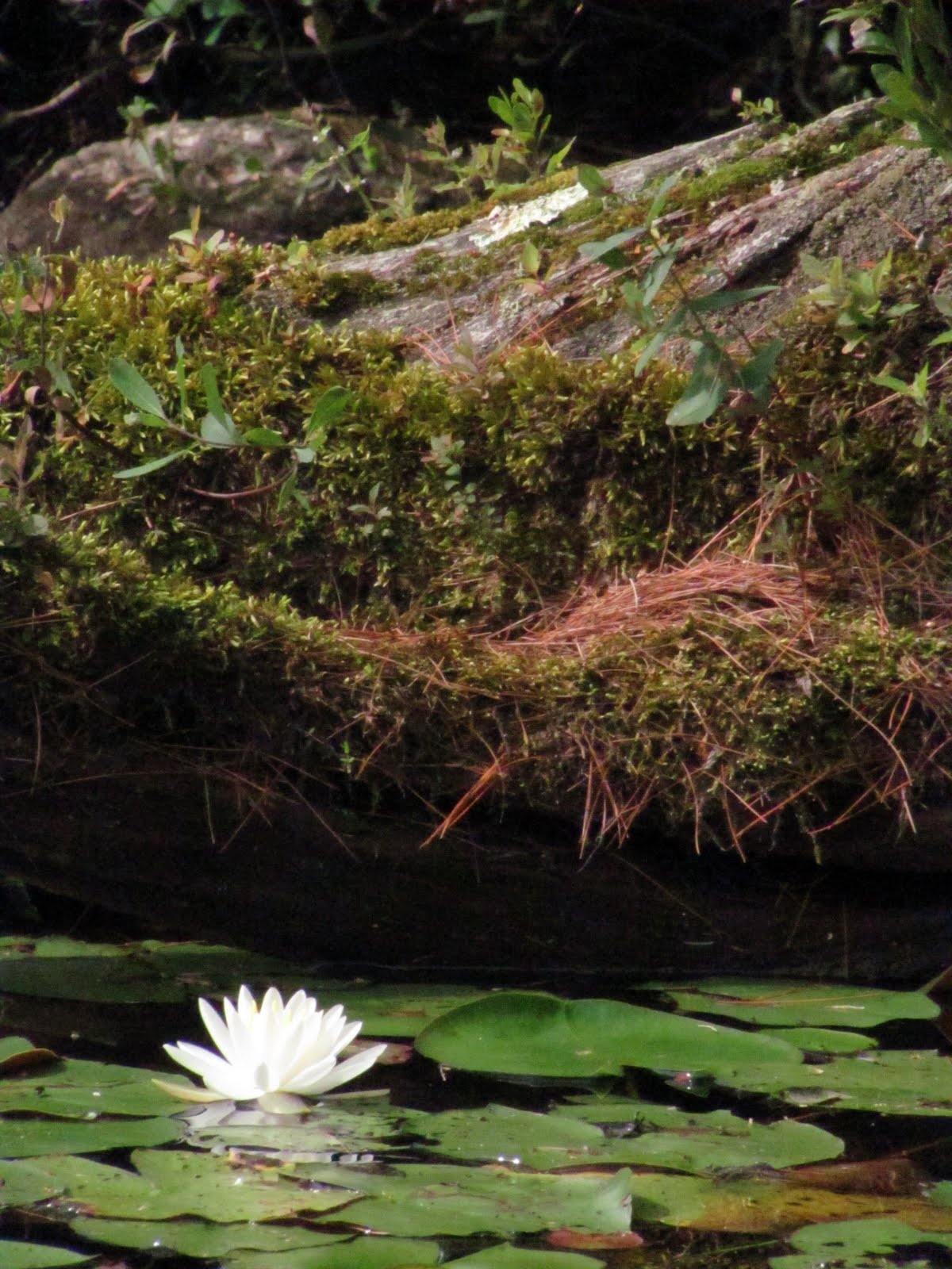
The lilies were so pretty!

Returning to the boat launch.  (The launch is right before the house on the left.) 

The launch is right before this house. 

Saturday, August 6, 2011

Bridgton, Maine: Moose Pond (Shawnee Peak/Pleasant Mountain)

Body of Water: Moose Pond, Bridgton, ME [Maine Gazetteer Map 4, A3]

Directions (from Portland, ME): Take Rt. 302 north.  Go through North Windham, Raymond, Casco, and Naples into Bridgton.  Once in Bridgton you will stay on Rt. 302 (which means turning left onto Main St.at the light.)  You will drive through the down town part of Bridgton and will continue on Rt. 302 towards Fryeburg.  After passing Highland Lake on your right, continue for three or four miles.  You will come to the causeway/bridge at the base of Shawnee Peak/Pleasant Mountain that separates the two sides of Moose Pond.

Boat Launch: The boat launch is on your left when you first come upon the causeway.  The boat launch is quite wide, big enough for good sized boats.  There is a person there who monitors the use of the pond and checks watercrafts for millfoil. 


Parking: Free.  Park along Rt. 302 on the right side (when facing the mountain.)  We had four vehicles in  our caravan and were able to have plenty of space to park. 

Wildlife: The day I went here we saw a bald eagle shortly after getting into the kayaks.  It was too far away to see well or photograph, but we saw it dive and catch a fish!  We did not see any turtles, but I suspect it was because we were there early on an overcast day and the turtles like to sun themselves. There were so many water lilies.  I have never seen so many lilies in one body of water.  (We paddled on 8/5/2011.)  We saw ducks and Canada geese.  I also caught a quick glimpse of a frog.  (I have been told that there are a lot of loons here, but we did not see any. I wonder if it was because of so many lily pads.)

Notes: Moose Pond is a big pond. Rt. 302 separates two parts of it.  You can access both sides from the water by going under the bridge.  The bigger part of Moose Pond is on the side with Shawnee Peak.  This side will be more choppy on windy days.  Bigger motor boats are allowed and use the bigger side of the pond.  We spent most of our time there on the smaller side of the pond.  (Opposite of Shawnee Peak.)  The smaller side offers many coves to explore.  There are some rocks that are slightly below the surface in some places.  While we were able to clear them a lower water level may have left us a little tippy.  There were a few islands in this part of the pond that were fun to paddle around.  Rt. 302 is busy so I do recommend unloading kayaks at the boat launch and then parking; carrying kayaks across Rt. 302 may be a challenge.  When we were ready to leave the pond, the boat launch was quite busy.  We tried to be respectful of the other water-goers by waiting our turn and staying out of the way of the vehicles with boat trailers. 

I am including some pictures of our trip to Moose Pond.  The quality of the pictures do not do the pond justice.  I need to learn more about how to use the manual settings on my camera when it is overcast. 

The kayaks are lined up and ready to go!  (My friend Holly was the first to get in hers!) 

One of my friends insisted I put a picture of myself on the blog, so here I am:

After leaving the blat landing we paddled to the right and followed the causeway to the bridge. 

Going under this bridge was a piece of cake.  (No signs of spiders either!)

There is a picnic area on an island in the middle of the causeway. (non Shawnee Peak side) I am not sure if there is parking in the rest area, but there were a few picnic tables and this particular spot had, what appeared to be, a little charcoal grill.


This is a stump that is covered in moss.

  You can see off into the distance and also some large pine trees.  The pond is quite large, and because we went in early August, you can see the lily pads. There were some rocks along the shore.   I love that part of Maine...seeing large boulders along the shoreline. 


These Canada geese were eating the tops of these plants/grass.  It was fun to hear them, their beaks, as they ate. 

The sun started to peek through the clouds, making this Peak a bit more clear. 

There were several ducks on one part of the pond.  The rest seemed to avoid us, but this one seemed preoccupied with getting her lunch!  

On the smaller side of the pond there was a place that looked like either a camp or perhaps an association meeting place.  I liked that these chairs were all lined up to look over the water.  There is something about sitting on the edge of the water... not as good as being ON the water, but nice!


 Water lilies!  

There were some tiny lily pads with tiny white flowers.  I had seen the tiny lily pads before, but never the little flowers. 

This is one of the islands in the pond.  It was more green than this, but it doesn't show in the lighting on this overscast day.


This was the Moose Pond Crew for this day! (minus me, I am behind the camera!)


 This is the bigger side (Shawnee Peak side) of Moose Pond. As you can see it is much more open and didn't have nearly as many lilies. This side is used more by boaters for tubing/water skiing. 


 A close up of a lily.